Here are a set of quick start samples that show you how to accomplish different mapping and GIS tasks with the ArcGIS API for Javascript. The samples use ArcGIS Online basemaps and services. Learn more here.
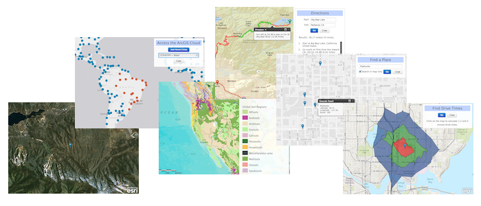

- Basemaps - Set different basemaps interactively
- Geolocation - Find and display your geolocation
- Place Finding - Find places or geocode an address
- Directions - Get directions
- Graphics - Draw points, lines and polygons
- Cloud - Draw and query features stored in the ArcGIS Online cloud
- Clone the repo ([Github for Windows] (http://windows.github.com/) or [Github for Mac] (http://mac.github.com/)) or download the .zip file.
- Run and try the examples.
- Notepad or your favorite HTML editor
- Web browser with access to the Internet
Find a bug or want to request a new feature? Please let us know by submitting an issue.
Anyone and everyone is welcome to contribute.
Copyright 2012 Esri
Licensed under the Apache License, Version 2.0 (the "License"); you may not use this file except in compliance with the License. You may obtain a copy of the License at
http://www.apache.org/licenses/LICENSE-2.0
Unless required by applicable law or agreed to in writing, software distributed under the License is distributed on an "AS IS" BASIS, WITHOUT WARRANTIES OR CONDITIONS OF ANY KIND, either express or implied. See the License for the specific language governing permissions and limitations under the License.
A copy of the license is available in the repository's license.txt file.