


GIS and geospatial specialist based in Canterbury, New Zealand. I turn open spatial data into pipelines, web maps, and tools people can actually use.
My work sits where geospatial analysis meets software. I automate data cleaning with Python, wrangle messy GIS data into clean schemas, and put the results on the web. I care about maps that are accurate, readable, and useful.
☕ Powered by coffee, ideally a mocha.
🐾 Boxer mum to Juniper, my velcro shadow
📚 Always halfway through a good nonfiction book
🥾 Happiest outdoors with a map and no fixed plan
Slowly planning a big trip through Europe one day
GIS and spatial data






Web mapping and front end





Data and cloud


spatial-sql-for-councils PostGIS spatial analysis queries built on real Christchurch City Council and LINZ open data, all in EPSG:2193.
nz-map-palettes A live colour palette explorer for New Zealand territorial authority maps.
Christchurch street slope map (in progress) A fully client-side web map that reads LINZ Terrain-RGB tiles and calculates slope with Horn's method, no server round trips required.

|
|
|
|
|
|
|
|
|
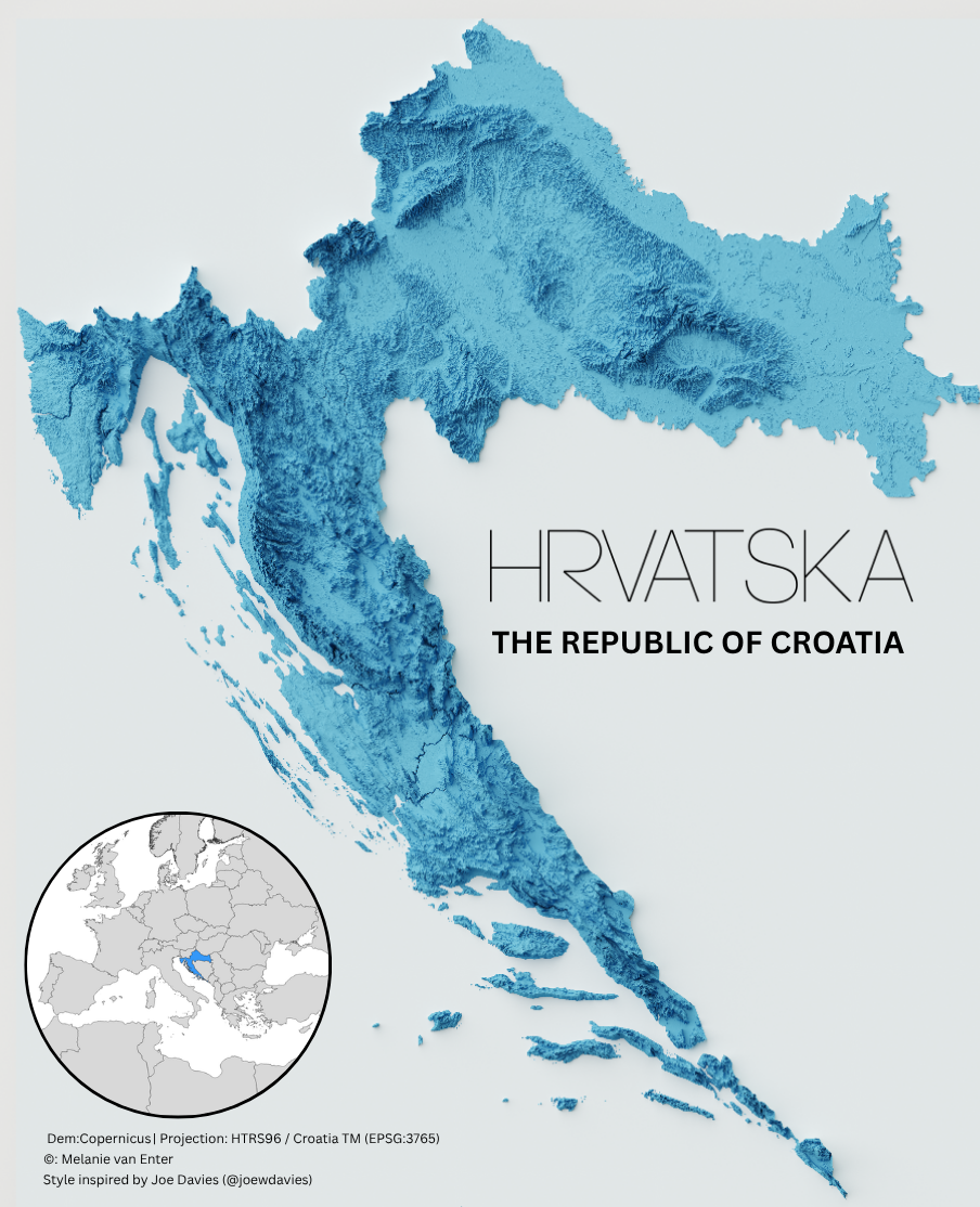


Deepening my web mapping stack: client-side terrain analysis, Node.js, and REST APIs. Always keen to collaborate on GIS and open-data projects.
- Sharing GIS work and open-data maps on LinkedIn 💼
- Building web maps and portfolio projects here on GitHub 🗺️
- Shipping small apps like Spice and Herb Cabinet and Wine and Whiskey Cabinet 🌶️